Higher speeds
Interstate speeds concentrate more destructive energy into every collision, worsening both damage and injury.
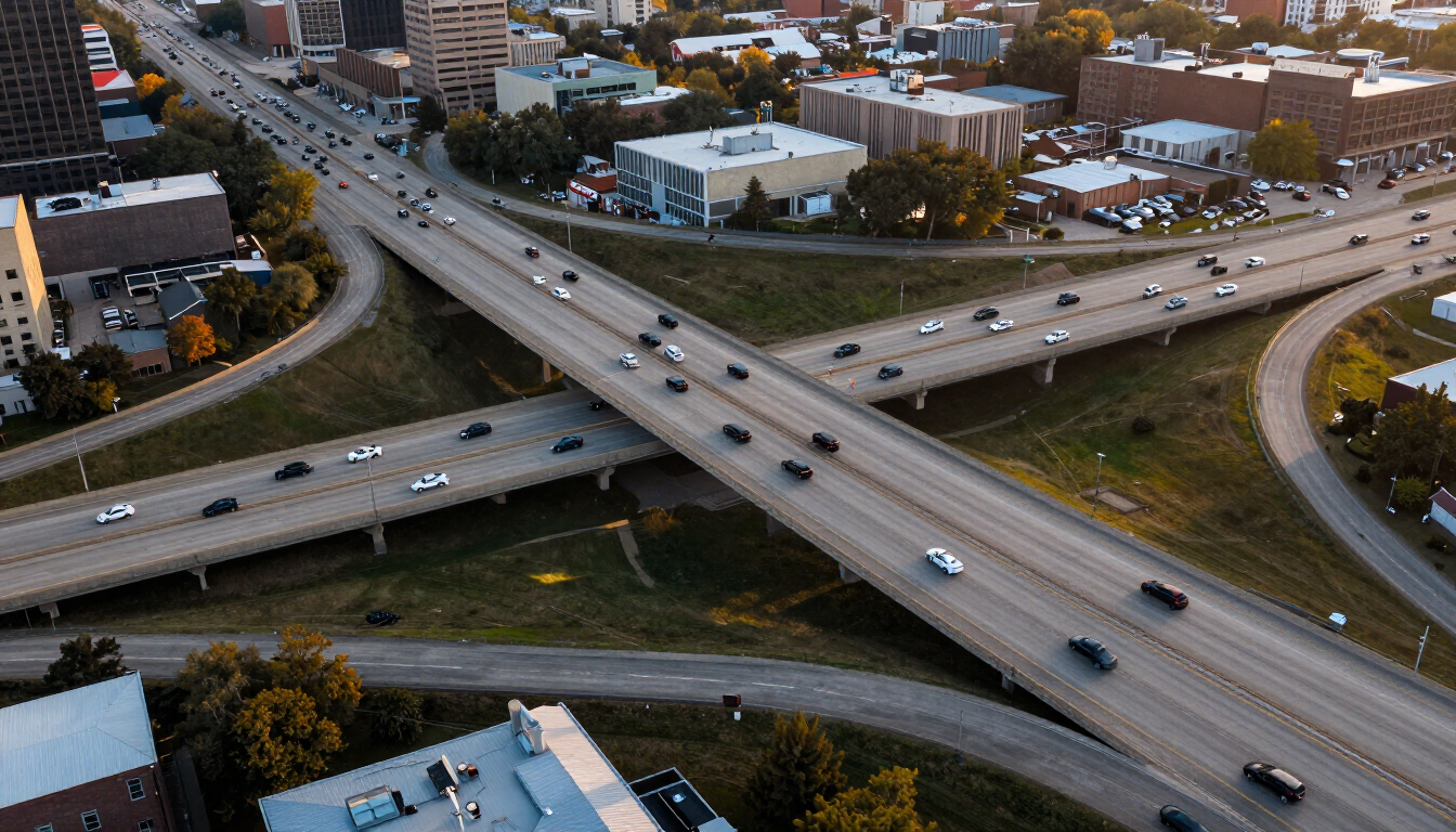
Local Resources · Roads & Highways
Kansas City is built around a web of interstates and arterial routes. At interstate speeds, the same error that causes a minor city-street collision can cause catastrophic injuries. This page explains the transportation network and how highway crashes can happen — without characterizing any roadway as dangerous without evidence.
The short answer
Direct answer: Kansas City’s major routes include I-70 (east-west), I-35 (north-south), I-435 (the perimeter loop), I-49 and the US-71 corridor (serving the south metro), US-169 and Missouri Route 9, among others. Highway crashes can involve higher speeds, merging, lane changes, commercial trucks, multiple vehicles, construction zones and out-of-state drivers — factors that make both injury severity and the evidence questions different from a city-street collision.
Related resources
The transportation network
Kansas City sits at the crossing of I-35 and I-70, ringed by the I-435 loop, with I-49 and the US-71 corridor serving the south metro. US-169 crosses the Missouri River to serve the Northland, and Missouri Route 9 runs through the northern riverfront communities. A single commute can cross several jurisdictions and county lines.
This network moves high-speed, dense traffic where merging, lane changes and congestion produce characteristic crash patterns. No roadway is characterized here as dangerous without supporting data; crash risk depends on conditions, driver behavior, time of day and many other factors specific to each incident.
How highway crashes happen
These are recurring factors on Kansas City interstates, not conclusions about any specific driver or any specific road’s safety.
Interstate speeds concentrate more destructive energy into every collision, worsening both damage and injury.
On-ramp merges and lane changes create conflict points where right-of-way is disputed.
Trucks sharing passenger-car lanes amplify the consequences of any error, given their size and stopping distance.
Chain-reaction pileups raise difficult questions about sequence, fault and each driver’s role.
Lane shifts, reduced shoulders and worker presence change traffic patterns and raise the stakes.
Interstate travel brings drivers unfamiliar with local routes, exits and traffic patterns.
I-70
I-70 is the major east-west interstate bisecting the metro, linking downtown Kansas City to Independence, Blue Springs and the eastern Jackson County line. It carries heavy commuter traffic, cross-country freight and, in construction seasons, lane shifts and reduced shoulders. Because I-70 crosses county lines, the precise location of a crash can affect which county’s courts may be relevant.
Common crash scenarios on I-70 include rear-end collisions in stop-and-go congestion, merging conflicts at on-ramps, multi-vehicle pileups when traffic suddenly slows, and commercial truck crashes given the route’s freight volume. Evidence after an I-70 crash — scene photographs, the police report, event data recorder information, dashcam video and reconstruction — is especially important because vehicles may travel far after impact at highway speeds.
I-35
I-35 is the north-south interstate connecting downtown Kansas City to the northern suburbs and beyond, carrying heavy commuter and freight traffic. It intersects I-70 downtown and connects to the I-435 loop and the bridge crossings that serve the Northland. Merging, lane changes and bridge-approach congestion are recurring features.
Crashes on I-35 can involve high-speed rear-end collisions, lane-change conflicts and commercial traffic. Because the route crosses the Missouri River into Clay County, a crash’s precise location can affect which county and agencies are involved. Evidence preservation — including vehicle data and witness contacts gathered early — matters for the same reasons as on other interstates.
I-435
I-435 is the perimeter loop encircling the metro, intersecting nearly every other major route and handling cross-town and bypass traffic. Its interchanges with I-70, I-35, I-49 and US-71 are major conflict points where merging and lane changes concentrate. The loop crosses Jackson, Clay and Platte counties, so a crash location on I-435 can fall in any of several jurisdictions.
Speed differentials — some traffic at full speed, some slowing for interchanges — produce severe rear-end and multi-vehicle crashes. Commercial trucks use I-435 heavily for cross-town freight movement, adding size and stopping-distance considerations to any collision.
I-49 / US-71
I-49 is the southern expressway connecting Kansas City to Grandview, Raytown and the broader southland, while US-71 is a busy arterial corridor running south from downtown through the urban core toward the southern suburbs. Together they carry heavy commuter and commercial traffic serving the southern metro.
Crashes on these corridors can involve intersection-style conflicts where the expressway meets surface streets, merging at interchanges, and commercial traffic. The communities along these routes — Grandview, Raytown and others — are covered in more detail on their dedicated city pages.
Other significant routes
Beyond the interstates, US-169 is a north-south route crossing the Missouri River and serving the Northland and downtown fringe, and Missouri Route 9 is a surface route through the northern riverfront communities mixing local and through traffic. Kansas City’s arterial roads, the downtown loop and countless suburban intersections complete the network.
Crashes on surface routes and arterials often involve intersection conflicts, turning movements and pedestrian activity rather than the high-speed dynamics of the interstates. The right evidence depends on the setting — which is why location matters from the very first steps of a claim.
Frequently asked questions
General information only, not legal advice for any particular situation.
Keep exploring
Free case review
This is the intake experience a Kansas City injury firm would offer: clear fields, plain language and no pressure. On this demonstration site the form is entirely inert — nothing you type leaves your browser.
Demonstration only. No information is transmitted to an attorney or law firm.
Demonstration form only. Information entered here is not transmitted to a law firm or attorney.